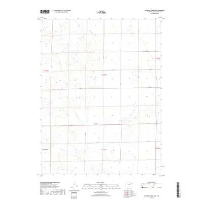
2019 Map of Antelope Creek East
USGS Topo · Published 2019About this map
Elba Cem serves as a lone historical marker in this agricultural landscape of Washington County, reflecting the sparse settlement pattern of the High Plains. The terrain is defined by a series of intermittent drainage systems, including Buck Cr in the northwest and the winding path of Hell Cr to the east. These seasonal waterways cut through the prairie, providing the primary relief in an otherwise strictly organized grid of section lines and county roads.
Find a feature on this map
20 named features on this map. Tap any name to fly to it.
Don’t see what you’re looking for? This feature index may not catch every label — zoom into the map to look around manually.
Map Details
Editions of this 2019 Antelope Creek East Map
This is the sole edition of this map. No revisions or reprints were ever made.
Other maps of this area

1954 · Limon
USGS Topo · 1:250,000

1954 · Sterling
USGS Topo · 1:250,000

1957 · Limon
USGS Topo · 1:250,000

1958 · Limon
USGS Topo · 1:250,000

1958 · Sterling
USGS Topo · 1:250,000

1973 · Antelope Creek East
USGS Topo · 1:24,000

1973 · Antelope Creek West
USGS Topo · 1:24,000

1973 · Dry Gulch
USGS Topo · 1:24,000

1973 · Rago
USGS Topo · 1:24,000

1973 · Antelope Creek SE
USGS Topo · 1:24,000