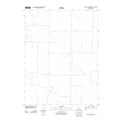
2010 Map of Antelope Creek West
USGS Topo · Published 2010About this map
Ward Ranch stands as a focal point of human presence in this expanse of Washington County, Colorado, situated at the intersection of a vast grid of county roads. The landscape is defined by its intermittent drainage patterns, with Antelope Creek winding through the center of the quadrangle. Other seasonal watercourses, including Vega Creek, Sand Creek, and Buck Creek, carve subtle paths across the high plains. The rigid geometry of the road system, including County Road P and County Road 24, illustrates the township and range surveying system that organized this agricultural region. This survey captures a moment in the early 21st century when the traditional ranching landscape remained largely intact, defined by wide distances between named landmarks.
Find a feature on this map
18 named features on this map. Tap any name to fly to it.
Don’t see what you’re looking for? This feature index may not catch every label — zoom into the map to look around manually.
Map Details
Editions of this 2010 Antelope Creek West Map
This is the sole edition of this map. No revisions or reprints were ever made.
Other maps of this area

1954 · Limon
USGS Topo · 1:250,000

1954 · Sterling
USGS Topo · 1:250,000

1957 · Limon
USGS Topo · 1:250,000

1958 · Limon
USGS Topo · 1:250,000

1958 · Sterling
USGS Topo · 1:250,000

1965 · Gary
USGS Topo · 1:24,000

1973 · Woodrow
USGS Topo · 1:24,000

1973 · Antelope Creek East
USGS Topo · 1:24,000

1973 · Antelope Creek West
USGS Topo · 1:24,000

1973 · Dry Gulch
USGS Topo · 1:24,000