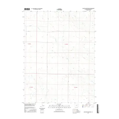
2016 Map of Antelope Creek West
USGS Topo · Published 2016About this map
Antelope Creek and its tributaries define the hydrology of this corner of Washington County, where the high plains of Eastern Colorado are organized by a strict township and range grid. This survey illustrates the persistent agricultural and ranching layout of the region, where rural life revolves around a network of numbered and lettered county roads. The drainage systems of Sand Creek and Buck Creek break the geometric monotony of the landscape, creating subtle topographic variation across the prairie. The map provides a clear look at the intersection of early 21st-century infrastructure and long-established land divisions, such as Co Rd N and Co Rd 28, which serve as the primary conduits for travel between remote homesteads. Genealogists and historians can use these precise road alignments and watercourse positions to locate specific family land tracts within the t1s r55w and t1s r54w sections.
Find a feature on this map
18 named features on this map. Tap any name to fly to it.
Don’t see what you’re looking for? This feature index may not catch every label — zoom into the map to look around manually.
Map Details
Editions of this 2016 Antelope Creek West Map
This is the sole edition of this map. No revisions or reprints were ever made.
Other maps of this area

1954 · Limon
USGS Topo · 1:250,000

1954 · Sterling
USGS Topo · 1:250,000

1957 · Limon
USGS Topo · 1:250,000

1958 · Limon
USGS Topo · 1:250,000

1958 · Sterling
USGS Topo · 1:250,000

1965 · Gary
USGS Topo · 1:24,000

1973 · Woodrow
USGS Topo · 1:24,000

1973 · Antelope Creek East
USGS Topo · 1:24,000

1973 · Antelope Creek West
USGS Topo · 1:24,000

1973 · Dry Gulch
USGS Topo · 1:24,000