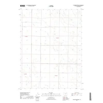
2019 Map of Antelope Creek West
USGS Topo · Published 2019About this map
The High Plains of Washington County are defined here by a persistent drainage network and a rigid section-line road system. The course of Antelope Cr meanders from the northwest to the southeast, while Sand Cr and Buck Cr carve shallow valleys across the open landscape. This 2019 survey documents the enduring Public Land Survey System (PLSS) grid, with township boundaries like t1s r55w and t1s r54w organizing the territory into perfect squares. The transportation network is strictly utilitarian, consisting of a series of county roads such as CO Rd 28 and CO Rd N that follow the section lines, reflecting the rural agricultural character of this portion of eastern Colorado.
Find a feature on this map
17 named features on this map. Tap any name to fly to it.
Don’t see what you’re looking for? This feature index may not catch every label — zoom into the map to look around manually.
Map Details
Editions of this 2019 Antelope Creek West Map
This is the sole edition of this map. No revisions or reprints were ever made.
Other maps of this area

1954 · Limon
USGS Topo · 1:250,000

1954 · Sterling
USGS Topo · 1:250,000

1957 · Limon
USGS Topo · 1:250,000

1958 · Limon
USGS Topo · 1:250,000

1958 · Sterling
USGS Topo · 1:250,000

1965 · Gary
USGS Topo · 1:24,000

1973 · Woodrow
USGS Topo · 1:24,000

1973 · Antelope Creek East
USGS Topo · 1:24,000

1973 · Antelope Creek West
USGS Topo · 1:24,000

1973 · Dry Gulch
USGS Topo · 1:24,000