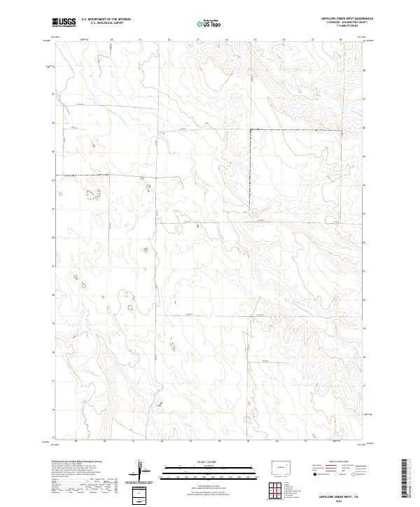
2022 Map of Antelope Creek West
USGS Topo · Published 2022About this map
Antelope Cr meanders across this rural expanse of Washington County, carving subtle drainages through the high plains landscape. The area is defined by a rigid section-line road network and the convergence of several seasonal watercourses, including Buck Cr in the northern reaches and the winding path of Sand Cr to the south. This 2022 survey captures the modern cadastral layout of t1s r54w and surrounding townships, where agricultural life is organized along routes like Co Rd 28 and Co Rd N. The presence of Vega Cr in the southwest corner further illustrates the intermittent drainage patterns that dictate the placement of ranch boundaries and local infrastructure in this part of eastern Colorado.
Find a feature on this map
18 named features on this map. Tap any name to fly to it.
Don’t see what you’re looking for? This feature index may not catch every label — zoom into the map to look around manually.
Map Details
Editions of this 2022 Antelope Creek West Map
This is the sole edition of this map. No revisions or reprints were ever made.
Other maps of this area

1954 · Limon
USGS Topo · 1:250,000

1954 · Sterling
USGS Topo · 1:250,000

1957 · Limon
USGS Topo · 1:250,000

1958 · Limon
USGS Topo · 1:250,000

1958 · Sterling
USGS Topo · 1:250,000

1965 · Gary
USGS Topo · 1:24,000

1973 · Woodrow
USGS Topo · 1:24,000

1973 · Antelope Creek East
USGS Topo · 1:24,000

1973 · Antelope Creek West
USGS Topo · 1:24,000

1973 · Dry Gulch
USGS Topo · 1:24,000