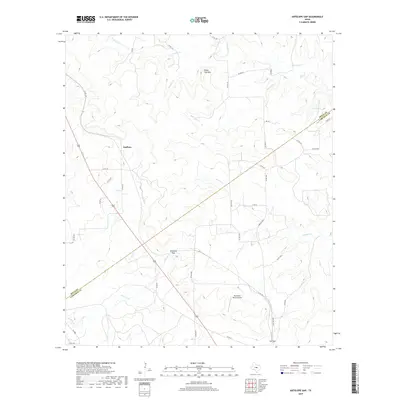
2019 Map of Antelope Gap
USGS Topo · Published 2019About this map
Scallorn and Lee Gap define the rural crossroads of this central Texas landscape where the boundary between Mills and Lampasas County cuts diagonally across the terrain. The topography is shaped by the drainages of Antelope Creek and the various branches of Simms Creek, including North Simms Creek, Bee Cove Creek, and Bear Cove Creek. These waterways carve through the limestone hills, most notably around the prominent elevation of Bread Tray Mountain.
Find a feature on this map
38 named features on this map. Tap any name to fly to it.
Don’t see what you’re looking for? This feature index may not catch every label — zoom into the map to look around manually.
Map Details
Editions of this 2019 Antelope Gap Map
This is the sole edition of this map. No revisions or reprints were ever made.
Other maps of this area

1885 · San Saba
USGS Topo · 1:125,000

1887 · Lampasas
USGS Topo · 1:125,000

1894 · Lampasas
USGS Topo · 1:125,000

1894 · San Saba
USGS Topo · 1:125,000

1925 · San Saba 4-a
USGS Topo · 1:48,000

1925 · San Saba 1-d
USGS Topo · 1:48,000

1928 · Goldthwaite
USGS Topo · 1:62,500

1931 · Bend
USGS Topo · 1:62,500

1948 · Goldthwaite
USGS Topo · 1:62,500
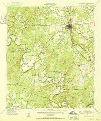
1950 · Goldthwaite
USGS Topo · 1:62,500