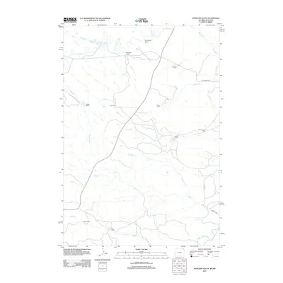
2012 Map of Antelope Gulch
USGS Topo · Published 2012About this map
Ridinger Ranch and Foster Ranch are central to this landscape of the High Plains, where Montana and Wyoming borders meet. The map reveals a land defined by water management and generational livestock operations, including the Ridinger Junior Ranch and Edsall Ranch. Significant drainage systems like the Little Missouri River and the Belle Fourche River cut through the terrain, supported by man-made infrastructure such as the T J Maupin Number 1 Reservoir. Named draws and gulches, from Antelope Gulch to Foster Draw, illustrate the subtle but vital topography used by ranchers. This era shows the continued reliance on unpaved routes like Stoneville Rd and Little Missouri Rd to connect these isolated homesteads and ranching outfits.
Find a feature on this map
25 named features on this map. Tap any name to fly to it.
Don’t see what you’re looking for? This feature index may not catch every label — zoom into the map to look around manually.
Map Details
Editions of this 2012 Antelope Gulch Map
This is the sole edition of this map. No revisions or reprints were ever made.
Other maps of this area

1901 · Aladdin
USGS Topo · 1:125,000

1903 · Aladdin
USGS Topo · 1:125,000

1905 · Devils Tower
USGS Topo · 1:125,000

1954 · Ekalaka
USGS Topo · 1:250,000

1954 · Gillette
USGS Topo · 1:250,000

1955 · Gillette
USGS Topo · 1:250,000

1956 · Ekalaka
USGS Topo · 1:250,000

1957 · Mona
USGS Topo · 1:62,500

1957 · Seely
USGS Topo · 1:62,500

1958 · Gillette
USGS Topo · 1:250,000