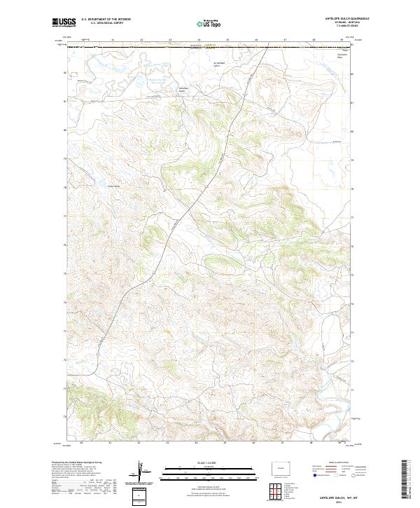
2021 Map of Antelope Gulch
USGS Topo · Published 2021About this map
The Little Missouri River and the Belle Fourche River anchor this corner of the high plains where Wyoming meets Montana. This landscape is characterized by a network of drainage systems like Spring Cr and Boggy Cr that carve through the open terrain. The presence of the Bentonite Haul Rd and several Bariod Rd segments points to the region's industrial ties to mining, specifically the extraction of bentonite clay common in this geological formation.
Find a feature on this map
31 named features on this map. Tap any name to fly to it.
Don’t see what you’re looking for? This feature index may not catch every label — zoom into the map to look around manually.
Map Details
Editions of this 2021 Antelope Gulch Map
This is the sole edition of this map. No revisions or reprints were ever made.
Other maps of this area

1901 · Aladdin
USGS Topo · 1:125,000

1903 · Aladdin
USGS Topo · 1:125,000

1905 · Devils Tower
USGS Topo · 1:125,000

1954 · Ekalaka
USGS Topo · 1:250,000

1954 · Gillette
USGS Topo · 1:250,000

1955 · Gillette
USGS Topo · 1:250,000

1956 · Ekalaka
USGS Topo · 1:250,000

1957 · Mona
USGS Topo · 1:62,500

1957 · Seely
USGS Topo · 1:62,500

1958 · Gillette
USGS Topo · 1:250,000