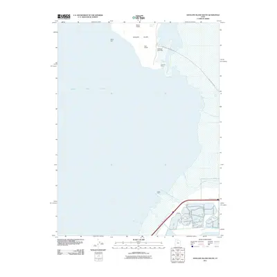
2011 Map of Antelope Island South
USGS Topo · Published 2011About this map
Great Salt Lake dominates this 2011 survey, illustrating the southern reaches of Antelope Island and the adjacent shoreline near Magna. The map reveals the island's distinctive topography, featuring prominent landmarks such as Mollys Nipple, the Garr Knolls, and Unicorn Point at the southern tip. On the mainland to the south, the presence of Saltair Resort and Great Salt Lake State Park along North Temple St highlights the recreational and historical significance of the lakeside. This modern data reflects the environmental interface between the desert island and the rising infrastructure of the Salt Lake Valley, including the mouth of Lee Creek and the long Antelope Island Bar.
Find a feature on this map
14 named features on this map. Tap any name to fly to it.
Don’t see what you’re looking for? This feature index may not catch every label — zoom into the map to look around manually.
Map Details
Editions of this 2011 Antelope Island South Map
This is the sole edition of this map. No revisions or reprints were ever made.
Other maps of this area

1885 · Tooele Valley
USGS Topo · 1:250,000

1951 · Saltair
USGS Topo · 1:24,000

1952 · Saltair NE
USGS Topo · 1:24,000

1952 · Magna
USGS Topo · 1:24,000

1952 · Antelope Island South
USGS Topo · 1:24,000

1952 · Garfield
USGS Topo · 1:24,000

1953 · Tooele
USGS Topo · 1:250,000

1954 · Antelope Island
USGS Topo · 1:24,000

1955 · Mills Junction
USGS Topo · 1:24,000

1955 · Tooele
USGS Topo · 1:250,000