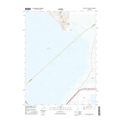
2017 Map of Antelope Island South
USGS Topo · Published 2017About this map
Antelope Island anchors the northern extent of this survey, where the terrestrial landforms of the Great Basin meet the expansive waters of the Great Salt Lake. This southern tip of the island features prominent elevations such as Mollys Nipple and the Garr Knolls, which overlook Indian Bay and the narrow Antelope Island Bar. The presence of McIntyre Spring provides a rare freshwater point in this arid, saline environment, while Unicorn Point marks the southernmost projection of the island's landmass.
Find a feature on this map
16 named features on this map. Tap any name to fly to it.
Don’t see what you’re looking for? This feature index may not catch every label — zoom into the map to look around manually.
Map Details
Editions of this 2017 Antelope Island South Map
This is the sole edition of this map. No revisions or reprints were ever made.
Other maps of this area

1885 · Tooele Valley
USGS Topo · 1:250,000

1951 · Saltair
USGS Topo · 1:24,000

1952 · Saltair NE
USGS Topo · 1:24,000

1952 · Magna
USGS Topo · 1:24,000

1952 · Antelope Island South
USGS Topo · 1:24,000

1952 · Garfield
USGS Topo · 1:24,000

1953 · Tooele
USGS Topo · 1:250,000

1954 · Antelope Island
USGS Topo · 1:24,000

1955 · Mills Junction
USGS Topo · 1:24,000

1955 · Tooele
USGS Topo · 1:250,000