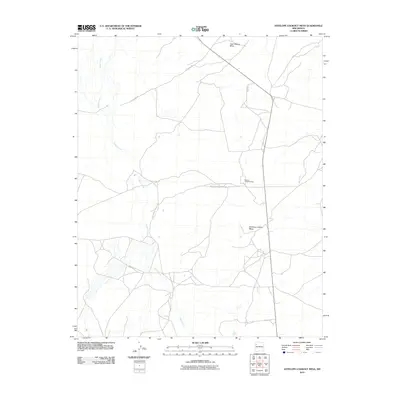
2010 Map of Antelope Lookout Mesa
USGS Topo · Published 2010About this map
Becenti Chapter House serves as a primary community landmark within this high-desert region of the Eastern Navajo Agency. The landscape is defined by the prominent landforms of Tiger Walkup Mesa in the north and the namesake Antelope Lookout Mesa to the south. This terrain is carved by the winding course of Indian Creek, which dictates the movement of travel and settlement patterns. The sparse road network, consisting of Little Boy Rd and Indian Service Route 7009, connects localized homesteads and grazing lands across the open mesas. The mapping reflects a modern era of land management where traditional Navajo Chapter governance and federal infrastructure intersect at the turn of the 21st century.
Find a feature on this map
6 named features on this map. Tap any name to fly to it.
Don’t see what you’re looking for? This feature index may not catch every label — zoom into the map to look around manually.
Map Details
Editions of this 2010 Antelope Lookout Mesa Map
This is the sole edition of this map. No revisions or reprints were ever made.
Other maps of this area
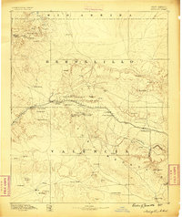
1886 · Wingate
USGS Topo · 1:250,000
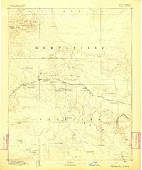
1892 · Wingate
USGS Topo · 1:250,000

1954 · Gallup
USGS Topo · 1:250,000

1958 · Gallup
USGS Topo · 1:250,000

1959 · Gallup
USGS Topo · 1:250,000
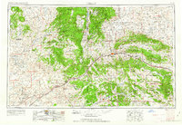
1962 · Gallup
USGS Topo · 1:250,000
1963 · Crownpoint
USGS Topo · 1:24,000
1963 · Heart Rock
USGS Topo · 1:24,000
1963 · Dalton Pass
USGS Topo · 1:24,000
1967 · Gallup
USGS Topo · 1:250,000