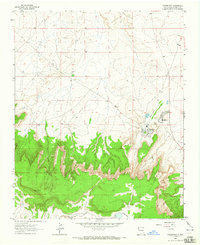
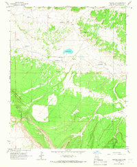
1963 Map of Crownpoint
USGS Topo · Published 1965About this map
Crownpoint serves as a concentrated hub of community infrastructure in this high-desert landscape of McKinley County. The settlement is defined by institutional landmarks including the Crownpoint Boarding School, a local Hospital, and a municipal Water Tank, illustrating the town's role as a regional center for services. A prominent Landing Strip north of the town center points to the importance of aerial access in this part of New Mexico during the early 1960s.
Find a feature on this map
11 named features on this map. Tap any name to fly to it.
Don’t see what you’re looking for? This feature index may not catch every label — zoom into the map to look around manually.
Map Details
Editions of this 1963 Crownpoint Map
This is the sole edition of this map. No revisions or reprints were ever made.
Other maps of this area

1886 · Wingate
USGS Topo · 1:250,000

1892 · Wingate
USGS Topo · 1:250,000

1954 · Gallup
USGS Topo · 1:250,000

1958 · Gallup
USGS Topo · 1:250,000

1959 · Gallup
USGS Topo · 1:250,000

1962 · Gallup
USGS Topo · 1:250,000
1963 · Hosta Butte
USGS Topo · 1:24,000
1963 · Casamero Lake
USGS Topo · 1:24,000
1963 · Heart Rock
USGS Topo · 1:24,000
1963 · Mariano Lake
USGS Topo · 1:24,000
Featured Places
- Eastern Navajo Agency, NM
- Crownpoint, Eastern Navajo Agency
- McKinley County, NM
- United States
- New Mexico