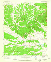
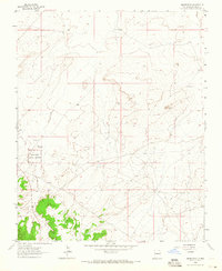
1963 Map of Hosta Butte
USGS Topo · Published 1965About this map
Continental Divide winds through this high-elevation terrain of McKinley County, dominated by the prominent volcanic neck of Hosta Butte. The landscape is a study in mid-century resource extraction and missionary presence in the American Southwest. To the east of the divide, Smith Lake serves as a focal point near the Bethesda Navajo Mission, while industrial activity is evident at the Black Jack Mine No 1, complete with its associated Tailings. Water sources like House Lake and Ruby Well are vital markers in this arid environment, supporting both the local mission community and the grazing lands of the Cibola Nat For. The Puerco River cuts through the northern sections, illustrating the drainage patterns that define this high desert plateau during the early 1960s.
Find a feature on this map
13 named features on this map. Tap any name to fly to it.
Don’t see what you’re looking for? This feature index may not catch every label — zoom into the map to look around manually.
Map Details
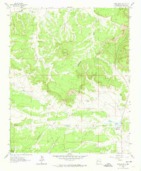
Editions of this 1963 Hosta Butte Map
2 editions found
Other maps of this area

1886 · Wingate
USGS Topo · 1:250,000

1892 · Wingate
USGS Topo · 1:250,000

1954 · Gallup
USGS Topo · 1:250,000

1958 · Gallup
USGS Topo · 1:250,000

1959 · Gallup
USGS Topo · 1:250,000

1962 · Gallup
USGS Topo · 1:250,000

1962 · Continental Divide
USGS Topo · 1:24,000
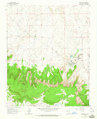
1963 · Crownpoint
USGS Topo · 1:24,000
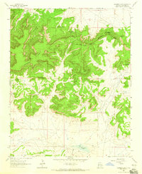
1963 · Casamero Lake
USGS Topo · 1:24,000
1963 · Heart Rock
USGS Topo · 1:24,000
Featured Places
- Eastern Navajo Agency, NM
- Smith Lake, Eastern Navajo Agency
- McKinley County, NM
- United States
- New Mexico