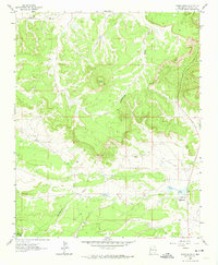
1963 Map of Hosta Butte
USGS Topo · Published 1974About this map
Hosta Butte rises as a central landmark in this high-elevation landscape within Cibola Nat For, marking a significant topographical point in McKinley County. The Continental Divide winds through the terrain, dictating the flow of seasonal drainages like the Puerco River. Cultural and industrial activity is centered around the Bethesda Navajo Mission near the shores of Smith Lake, while the local economy is evidenced by the Black Jack Mine No 1 and its associated Tailings to the north. Water sources are scarce in this arid region, making named features such as Ruby Well and House Lake critical for local livestock and human use. A small Landing Strip further emphasizes the isolation and specialized infrastructure required in this part of New Mexico during the early 1960s.
Find a feature on this map
11 named features on this map. Tap any name to fly to it.
Don’t see what you’re looking for? This feature index may not catch every label — zoom into the map to look around manually.
Map Details
Editions of this 1963 Hosta Butte Map
2 editions found
Other maps of this area

1886 · Wingate
USGS Topo · 1:250,000

1892 · Wingate
USGS Topo · 1:250,000

1954 · Gallup
USGS Topo · 1:250,000

1958 · Gallup
USGS Topo · 1:250,000

1959 · Gallup
USGS Topo · 1:250,000

1962 · Gallup
USGS Topo · 1:250,000

1962 · Continental Divide
USGS Topo · 1:24,000
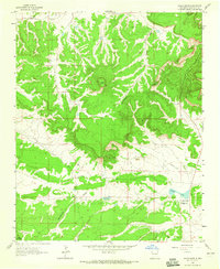
1963 · Hosta Butte
USGS Topo · 1:24,000
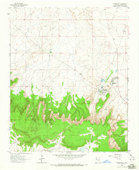
1963 · Crownpoint
USGS Topo · 1:24,000
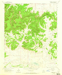
1963 · Casamero Lake
USGS Topo · 1:24,000
Featured Places
- Eastern Navajo Agency, NM
- Smith Lake, Eastern Navajo Agency
- McKinley County, NM
- United States
- New Mexico