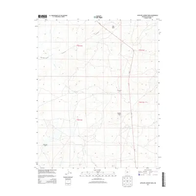
2013 Map of Antelope Lookout Mesa
USGS Topo · Published 2013About this map
Becenti Chapter House serves as a primary civic landmark within this high-desert landscape, situated along the north-south corridor of NM-371. The terrain is characterized by dramatic elevations and seasonal drainages, most notably Indian Cr, which cuts through the central and western portions of the survey area. Distinctive landforms such as Tiger Walkup Mesa in the north and the expansive Antelope Lookout Mesa to the south define the local topography, providing natural overlooks that have long served as navigational markers.
Find a feature on this map
12 named features on this map. Tap any name to fly to it.
Don’t see what you’re looking for? This feature index may not catch every label — zoom into the map to look around manually.
Map Details
Editions of this 2013 Antelope Lookout Mesa Map
This is the sole edition of this map. No revisions or reprints were ever made.
Other maps of this area

1886 · Wingate
USGS Topo · 1:250,000

1892 · Wingate
USGS Topo · 1:250,000

1954 · Gallup
USGS Topo · 1:250,000

1958 · Gallup
USGS Topo · 1:250,000

1959 · Gallup
USGS Topo · 1:250,000

1962 · Gallup
USGS Topo · 1:250,000
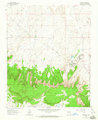
1963 · Crownpoint
USGS Topo · 1:24,000
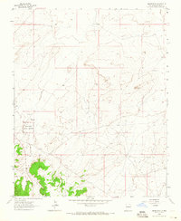
1963 · Heart Rock
USGS Topo · 1:24,000
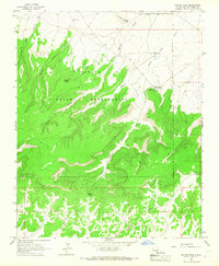
1963 · Dalton Pass
USGS Topo · 1:24,000

1967 · Gallup
USGS Topo · 1:250,000