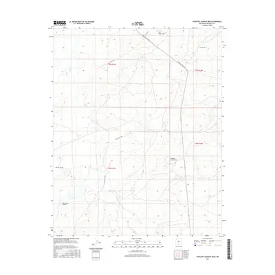
2017 Map of Antelope Lookout Mesa
USGS Topo · Published 2017About this map
Antelope Lookout Mesa and Tiger Walkup Mesa dominate this high-desert landscape within McKinley County, where the terrain is carved by the winding course of Indian Cr. This 2017 topographic record documents a network of Bureau of Indian Affairs routes, including Indian Svc Rte 7014 and Indian Svc Rte 7009, which provide access through the complex drainage systems of the Eastern Navajo Agency. To the south, the deep corridor of Dalton Pass Canyon cuts through the mesa country, illustrating the erosion patterns characteristic of the San Juan Basin. The map is a precise index of land management divisions, showing the grid of t19n r13w and surrounding townships, while local travel is marked by routes like Little Boy Rd, connecting isolated highland points in this sparsely populated region of New Mexico.
Find a feature on this map
12 named features on this map. Tap any name to fly to it.
Don’t see what you’re looking for? This feature index may not catch every label — zoom into the map to look around manually.
Map Details
Editions of this 2017 Antelope Lookout Mesa Map
This is the sole edition of this map. No revisions or reprints were ever made.
Other maps of this area

1886 · Wingate
USGS Topo · 1:250,000

1892 · Wingate
USGS Topo · 1:250,000

1954 · Gallup
USGS Topo · 1:250,000

1958 · Gallup
USGS Topo · 1:250,000

1959 · Gallup
USGS Topo · 1:250,000

1962 · Gallup
USGS Topo · 1:250,000
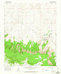
1963 · Crownpoint
USGS Topo · 1:24,000
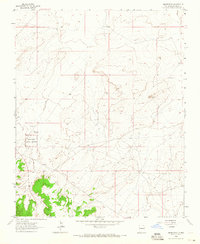
1963 · Heart Rock
USGS Topo · 1:24,000
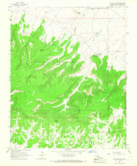
1963 · Dalton Pass
USGS Topo · 1:24,000

1967 · Gallup
USGS Topo · 1:250,000