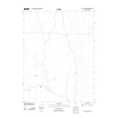
2012 Map of Antelope Mountain
USGS Topo · Published 2012About this map
Antelope Mountain anchors this high-elevation landscape in White Pine County, where a network of water sources and strategic passes defines the terrain. The area is characterized by several critical water points, including Antelope Spring, Little Antelope Spring, and North Spring, which traditionally served as vital stopping points in this arid region. The drainage patterns of Halstead Creek and the presence of Divide Spring highlight the complex hydrology of these Nevada highlands.
Find a feature on this map
7 named features on this map. Tap any name to fly to it.
Don’t see what you’re looking for? This feature index may not catch every label — zoom into the map to look around manually.
Map Details
Editions of this 2012 Antelope Mountain Map
This is the sole edition of this map. No revisions or reprints were ever made.
Other maps of this area

1951 · Illipah
USGS Topo · 1:62,500

1951 · Pancake Summit
USGS Topo · 1:62,500

1956 · Ely
USGS Topo · 1:250,000

1957 · Buck Mountain
USGS Topo · 1:62,500

1959 · Ely
USGS Topo · 1:250,000

1963 · Ely
USGS Topo · 1:250,000

1979 · Mt. Hamilton
USGS Topo · 1:100,000

1982 · Dickenson Well
USGS Topo · 1:24,000

1982 · Sunshine Well
USGS Topo · 1:24,000

1985 · Newark Lake
USGS Topo · 1:100,000