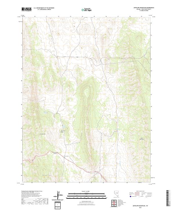
2021 Map of Antelope Mountain
USGS Topo · Published 2021About this map
The White Pine Range dominates this portion of the Great Basin, where the high-altitude terrain is defined by prominent peaks and vital water sources. Antelope Mtn and Buster Mtn anchor the southern and central sections of the sheet, while the Butte Mountains rise to the east. These mountain blocks create a complex network of ridgelines and drainage basins, where intermittent and seasonal water remains the primary driver of movement and activity.
Find a feature on this map
18 named features on this map. Tap any name to fly to it.
Don’t see what you’re looking for? This feature index may not catch every label — zoom into the map to look around manually.
Map Details
Editions of this 2021 Antelope Mountain Map
This is the sole edition of this map. No revisions or reprints were ever made.
Other maps of this area

1951 · Illipah
USGS Topo · 1:62,500

1951 · Pancake Summit
USGS Topo · 1:62,500

1956 · Ely
USGS Topo · 1:250,000

1957 · Buck Mountain
USGS Topo · 1:62,500

1959 · Ely
USGS Topo · 1:250,000

1963 · Ely
USGS Topo · 1:250,000

1979 · Mt. Hamilton
USGS Topo · 1:100,000

1982 · Dickenson Well
USGS Topo · 1:24,000

1982 · Sunshine Well
USGS Topo · 1:24,000

1985 · Newark Lake
USGS Topo · 1:100,000