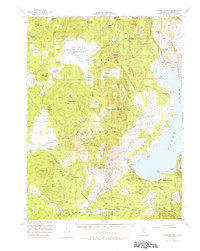
1956 Map of Antelope Mtn
USGS Topo · Published 1976About this map
Eagle Lake dominates the eastern half of this Lassen County landscape, where the volcanic geology of the Lava Beds and Whaleback Mtn meets the high-country ranching tradition of the mid-1950s. The map captures a transition from working cattle landscapes like Smith Cow Camp and Stones Headquarters to early lakeside recreation at Spaulding Tract and Eagle Lake Resort.
Find a feature on this map
87 named features on this map. Tap any name to fly to it.
Don’t see what you’re looking for? This feature index may not catch every label — zoom into the map to look around manually.
Map Details
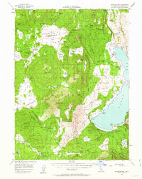
Editions of this 1956 Antelope Mtn Map
3 editions found

Other maps of this area

1886 · Honey Lake
USGS Topo · 1:250,000

1886 · Lassen Peak
USGS Topo · 1:250,000

1891 · Honey Lake
USGS Topo · 1:250,000

1892 · Lassen Peak
USGS Topo · 1:250,000

1893 · Honey Lake
USGS Topo · 1:250,000

1894 · Lassen Peak
USGS Topo · 1:250,000

1939 · Halls Flat
USGS Topo · 1:125,000

1954 · Susanville
USGS Topo · 1:62,500

1954 · Grasshopper Valley
USGS Topo · 1:62,500

1954 · Fredonyer Peak
USGS Topo · 1:62,500