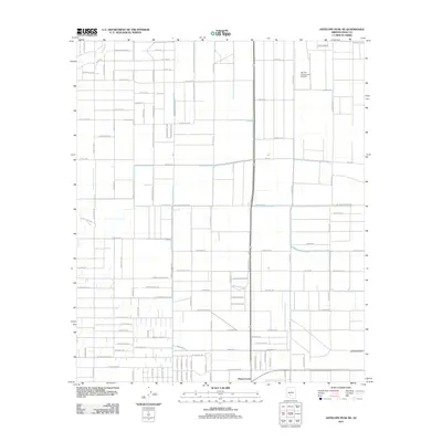
2011 Map of Antelope Peak NE
USGS Topo · Published 2011About this map
Ak Chin Community Airfield stands as a central landmark in this Pinal County landscape, which is defined by a rigorous grid of residential and agricultural roads. The settlement at Peters Corner anchors the southern portion of the sheet near a network of thoroughfares including Clayton Rd and W Meadow Green Rd. This 2011 survey captures a period of suburban expansion into the desert, where traditional desert features like the Vekol Wash intersect with modern street names such as W Mockingbird Ln and W Bitter Root Rd. The mapping illustrates the transition of open land into a planned community structure, evidenced by the dense naming of residential lanes like Rene Ln and W Gail Ln alongside larger arteries like Mayer Blvd.
Find a feature on this map
92 named features on this map. Tap any name to fly to it.
Don’t see what you’re looking for? This feature index may not catch every label — zoom into the map to look around manually.
Map Details
Editions of this 2011 Antelope Peak NE Map
This is the sole edition of this map. No revisions or reprints were ever made.
Other maps of this area

1913 · Maricopa
USGS Topo · 1:62,500

1914 · Gila Butte
USGS Topo · 1:62,500

1915 · Maricopa
USGS Topo · 1:62,500

1917 · Gila Butte
USGS Topo · 1:62,500

1922 · Casa Grande
USGS Topo · 1:62,500

1924 · Casa Grande
USGS Topo · 1:62,500

1946 · Antelope Peak
USGS Topo · 1:62,500

1948 · Antelope Peak
USGS Topo · 1:62,500

1952 · Maricopa
USGS Topo · 1:24,000

1952 · Sacaton Butte
USGS Topo · 1:24,000