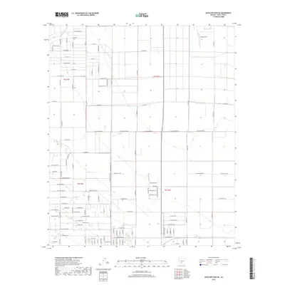
2018 Map of Antelope Peak NE
USGS Topo · Published 2018About this map
Vekol Wash cuts across the northern landscape of this Pinal County territory, defining a desert drainage system that contrasts with the surrounding agricultural and residential development. The 2018 terrain shows a transition from structured land plots to the more open reaches of the Sonoran Desert. Small-scale aviation is represented by the Farms Airport, located in the northeastern section, which serves as a notable landmark for local navigation and agricultural logistics.
Find a feature on this map
54 named features on this map. Tap any name to fly to it.
Don’t see what you’re looking for? This feature index may not catch every label — zoom into the map to look around manually.
Map Details
Editions of this 2018 Antelope Peak NE Map
This is the sole edition of this map. No revisions or reprints were ever made.
Other maps of this area

1913 · Maricopa
USGS Topo · 1:62,500

1914 · Gila Butte
USGS Topo · 1:62,500

1915 · Maricopa
USGS Topo · 1:62,500

1917 · Gila Butte
USGS Topo · 1:62,500

1922 · Casa Grande
USGS Topo · 1:62,500

1924 · Casa Grande
USGS Topo · 1:62,500

1946 · Antelope Peak
USGS Topo · 1:62,500

1948 · Antelope Peak
USGS Topo · 1:62,500

1952 · Maricopa
USGS Topo · 1:24,000

1952 · Sacaton Butte
USGS Topo · 1:24,000