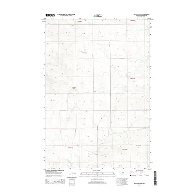
2014 Map of Antelope Point
USGS Topo · Published 2014About this map
Antelope Point stands as a prominent topographical landmark in this section of Stillwater County, overlooking a network of drainages that define the high plains landscape. The area is characterized by its systematic road grid, with routes like Five Mile Rd and Three Mile Rd providing access to the sprawling range. These roads follow the section lines of the Public Land Survey System, a pattern common in the expansion of Montana's ranching country. Multiple seasonal and perennial waterways, including Sheep Cr, E White Beaver Cr, and Cottonwood Cr, carve through the terrain, suggesting a landscape deeply tied to water availability for livestock. Local travel is facilitated by named thoroughfares such as Springtime Rd and Svenson Rd, which connect the disparate points of interest across the township boundaries of T2N, T1N, and T1S.
Find a feature on this map
19 named features on this map. Tap any name to fly to it.
Don’t see what you’re looking for? This feature index may not catch every label — zoom into the map to look around manually.
Map Details
Editions of this 2014 Antelope Point Map
This is the sole edition of this map. No revisions or reprints were ever made.
Other maps of this area

1891 · Big Timber
USGS Topo · 1:125,000

1892 · Stillwater
USGS Topo · 1:125,000

1893 · Big Timber
USGS Topo · 1:125,000

1954 · Billings
USGS Topo · 1:250,000

1955 · Antelope Point
USGS Topo · 1:24,000

1955 · Reed Point
USGS Topo · 1:24,000

1955 · Springtime
USGS Topo · 1:24,000

1955 · Russell Gulch
USGS Topo · 1:24,000

1955 · Stephens Hill
USGS Topo · 1:24,000

1956 · Columbus West
USGS Topo · 1:24,000