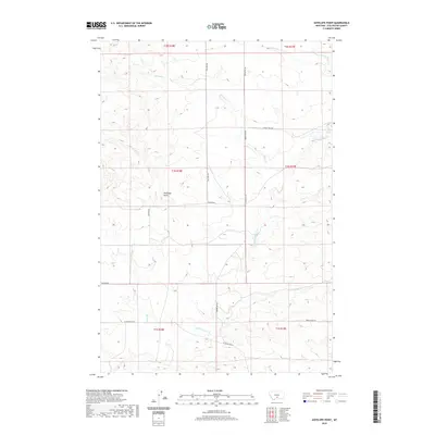
2020 Map of Antelope Point
USGS Topo · Published 2020About this map
Antelope Point rises as a prominent landmark above the drainage basins of Stillwater County, where a network of seasonal and perennial streams defines the ranching landscape. This modern survey illustrates the persistent rural character of the region, anchored by historical property divisions such as t1n r18e and t1n r19e. The terrain is deeply etched by watercourses including Sheep Cr, Spring Cr, and E White Beaver Cr, which have long dictated the placement of local transport routes. A series of secondary roads, such as Five Mile Rd and Springtime Rd, follow the natural contours and section lines, connecting the isolated homesteads and pastures that characterize this portion of the Montana plains. The map provides a clear view of the complex topography and the enduring rural infrastructure, from Svenson Rd in the west to the headwaters of Cow Cr in the east.
Find a feature on this map
19 named features on this map. Tap any name to fly to it.
Don’t see what you’re looking for? This feature index may not catch every label — zoom into the map to look around manually.
Map Details
Editions of this 2020 Antelope Point Map
This is the sole edition of this map. No revisions or reprints were ever made.
Other maps of this area

1891 · Big Timber
USGS Topo · 1:125,000

1892 · Stillwater
USGS Topo · 1:125,000

1893 · Big Timber
USGS Topo · 1:125,000

1954 · Billings
USGS Topo · 1:250,000

1955 · Antelope Point
USGS Topo · 1:24,000

1955 · Reed Point
USGS Topo · 1:24,000

1955 · Springtime
USGS Topo · 1:24,000

1955 · Russell Gulch
USGS Topo · 1:24,000

1955 · Stephens Hill
USGS Topo · 1:24,000

1956 · Columbus West
USGS Topo · 1:24,000