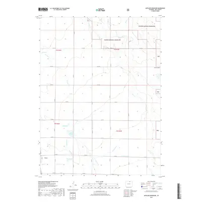
2019 Map of Antelope Reservoir
USGS Topo · Published 2019About this map
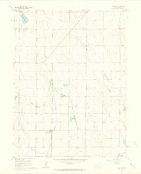
Pierce anchors the southwest corner of this high plains landscape, where the agricultural grid meets the protected expanse of the Pawnee National Grassland. The area's dependence on water management is clearly etched into the terrain through an intricate network of irrigation features including the Lone Tree Ditch, Burger-Gault Lateral, and Pierce Lateral. These man-made channels support local ranching and farming by feeding essential storage points such as Antelope Reservoir, Boyd Number 2 Reservoir, and the Rowe Brothers Reservoir.
Find a feature on this map
39 named features on this map. Tap any name to fly to it.
Don’t see what you’re looking for? This feature index may not catch every label — zoom into the map to look around manually.
Map Details
Editions of this 2019 Antelope Reservoir Map
This is the sole edition of this map. No revisions or reprints were ever made.
Other maps of this area

1908 · Eaton
USGS Topo · 1:125,000

1910 · Eaton
USGS Topo · 1:125,000

1954 · Greeley
USGS Topo · 1:250,000

1957 · Greeley
USGS Topo · 1:250,000

1958 · Greeley
USGS Topo · 1:250,000
1960 · Severance
USGS Topo · 1:24,000

1960 · Purcell
USGS Topo · 1:24,000
1960 · Eaton
USGS Topo · 1:24,000
1960 · Nunn
USGS Topo · 1:24,000
1960 · Galeton
USGS Topo · 1:24,000