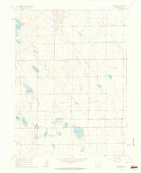
1960 Map of Severance
USGS Topo · Published 1962About this map
Severance serves as the focal point of this Weld County landscape, where an extensive network of irrigation infrastructure enabled the transformation of the high plains. The map meticulously documents the distribution of water through the Great Western Canal, Eaton Ditch, and Law Ditch, which feed a series of family-named reservoirs and lakes including Woods Lake, Swanson Lake, and Baldridge Lake. This hydraulic engineering supported both agriculture and the region's burgeoning energy sector.
Find a feature on this map
24 named features on this map. Tap any name to fly to it.
Don’t see what you’re looking for? This feature index may not catch every label — zoom into the map to look around manually.
Map Details
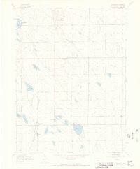
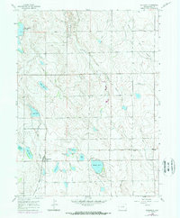
Editions of this 1960 Severance Map
3 editions found
Other maps of this area

1902 · Greeley
USGS Topo · 1:125,000

1908 · Eaton
USGS Topo · 1:125,000

1910 · Eaton
USGS Topo · 1:125,000

1950 · Greeley
USGS Topo · 1:24,000

1950 · Windsor
USGS Topo · 1:24,000

1950 · Bracewell
USGS Topo · 1:24,000
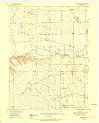
1951 · Bracewell
USGS Topo · 1:24,000

1954 · Greeley
USGS Topo · 1:250,000

1957 · Greeley
USGS Topo · 1:250,000

1958 · Greeley
USGS Topo · 1:250,000