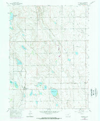
1960 Map of Severance
USGS Topo · Published 1973About this map
The town of Severance and the surrounding high plains are defined by an intricate network of irrigation engineering and petroleum extraction in this 1960 survey. Water management is the primary driver of the landscape, seen in the extensive Eaton Canal and various laterals like the Pierce Lateral and Lakeside Lateral that feed into numerous private reservoirs and lakes. Notable bodies include the large Windsor Reservoir and Black Hollow Reservoir, alongside smaller family-named features like Swanson Lake and Baldridge Lake.
Find a feature on this map
31 named features on this map. Tap any name to fly to it.
Don’t see what you’re looking for? This feature index may not catch every label — zoom into the map to look around manually.
Map Details
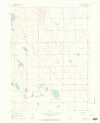
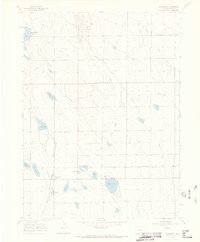
Editions of this 1960 Severance Map
3 editions found
Other maps of this area

1902 · Greeley
USGS Topo · 1:125,000

1908 · Eaton
USGS Topo · 1:125,000

1910 · Eaton
USGS Topo · 1:125,000

1950 · Greeley
USGS Topo · 1:24,000

1950 · Windsor
USGS Topo · 1:24,000

1950 · Bracewell
USGS Topo · 1:24,000
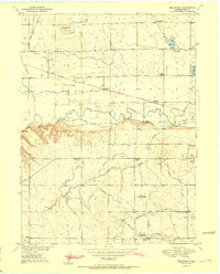
1951 · Bracewell
USGS Topo · 1:24,000

1954 · Greeley
USGS Topo · 1:250,000

1957 · Greeley
USGS Topo · 1:250,000

1958 · Greeley
USGS Topo · 1:250,000