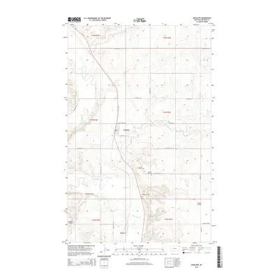
2014 Map of Antelope
USGS Topo · Published 2014About this map
Antelope and the smaller settlement of Reserve anchor this northeastern Montana landscape, where the prairie is defined by a network of drainage coulees and seasonal creeks. The mapping of Antelope Creek Cem and Antelope Catholic Cem south of the main town site offers precise locations for genealogical researchers and those studying the early Catholic presence in Sheridan County. The geography is dominated by the meandering Big Muddy Creek and its various tributaries, including Ator Cr and McLaughlin Cr, which carve distinct lowlands through the township and range divisions. Local commerce and transit are evidenced by the intersecting paths of Coalridge Hwy and the rural road network, including Whitish Hill Rd and Lowell Valley Rd, which connect the scattered homesteads and agricultural operations of the region.
Find a feature on this map
30 named features on this map. Tap any name to fly to it.
Don’t see what you’re looking for? This feature index may not catch every label — zoom into the map to look around manually.
Map Details
Editions of this 2014 Antelope Map
This is the sole edition of this map. No revisions or reprints were ever made.
Other maps of this area

1948 · Reserve SE
USGS Topo · 1:24,000

1948 · Reserve
USGS Topo · 1:24,000

1948 · Alkali Coulee
USGS Topo · 1:24,000

1948 · Antelope
USGS Topo · 1:24,000

1949 · Reserve SE
USGS Topo · 1:24,000

1949 · Reserve
USGS Topo · 1:24,000

1949 · Antelope
USGS Topo · 1:24,000

1949 · Alkali Coulee
USGS Topo · 1:24,000

1950 · Shippe Canyon
USGS Topo · 1:24,000

1954 · Wolf Point
USGS Topo · 1:250,000