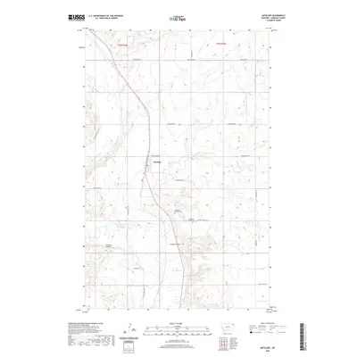
2020 Map of Antelope
USGS Topo · Published 2020About this map
Antelope sits at the heart of this Sheridan County landscape, where the local economy and geography are defined by the winding course of Big Muddy Creek. The settlement pattern follows the north-south axis of Railroad Ave, reflecting the historic importance of the rail corridor in eastern Montana. The terrain is deeply carved by water, featuring prominent drainage features like Folsom Coulee, Clarence Coulee, and McLaughlin Coulee that cut through the high plains toward the creek basin.
Find a feature on this map
23 named features on this map. Tap any name to fly to it.
Don’t see what you’re looking for? This feature index may not catch every label — zoom into the map to look around manually.
Map Details
Editions of this 2020 Antelope Map
This is the sole edition of this map. No revisions or reprints were ever made.
Other maps of this area

1948 · Reserve SE
USGS Topo · 1:24,000

1948 · Reserve
USGS Topo · 1:24,000

1948 · Alkali Coulee
USGS Topo · 1:24,000

1948 · Antelope
USGS Topo · 1:24,000

1949 · Reserve SE
USGS Topo · 1:24,000

1949 · Reserve
USGS Topo · 1:24,000

1949 · Antelope
USGS Topo · 1:24,000

1949 · Alkali Coulee
USGS Topo · 1:24,000

1950 · Shippe Canyon
USGS Topo · 1:24,000

1954 · Wolf Point
USGS Topo · 1:250,000