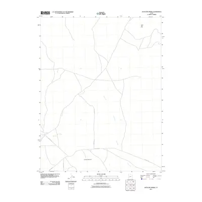
2011 Map of Antelope Spring
USGS Topo · Published 2011About this map
Antelope Mountain anchors this high-desert portion of Millard County, where the landscape is defined by remote water sources and solitary peaks. In the early 21st century, the area remains largely undeveloped, with a network of unpaved corridors like Black Rock Rd and S 18400 West Rd providing the only structured access through the arid terrain. The presence of Antelope Spring and Cove Spring suggests the vital importance of these rare water points for livestock or local wildlife, while the Ogden Well reflects human efforts to tap into subterranean resources. To the north, the elevation rises toward South Twin Peak, and the drainage of Cove Creek cuts through the plains, illustrating the natural geography of the Sevier Desert's eastern margins.
Find a feature on this map
9 named features on this map. Tap any name to fly to it.
Don’t see what you’re looking for? This feature index may not catch every label — zoom into the map to look around manually.
Map Details
Editions of this 2011 Antelope Spring Map
This is the sole edition of this map. No revisions or reprints were ever made.
Other maps of this area

1885 · Beaver
USGS Topo · 1:250,000

1953 · Richfield
USGS Topo · 1:250,000

1958 · Richfield
USGS Topo · 1:250,000

1962 · Tabernacle Hill
USGS Topo · 1:62,500

1962 · Cove Fort
USGS Topo · 1:62,500

1973 · Cruz
USGS Topo · 1:24,000

1973 · Pinnacle Pass
USGS Topo · 1:24,000

1973 · Antelope Spring
USGS Topo · 1:24,000

1973 · Black Rock
USGS Topo · 1:24,000

1973 · Read
USGS Topo · 1:24,000