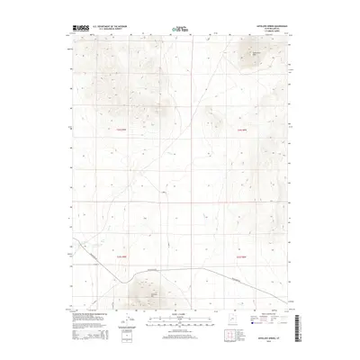
2014 Map of Antelope Spring
USGS Topo · Published 2014About this map
Antelope Spring and Cove Spring serve as critical water points in this arid stretch of the Great Basin during the early 21st century. The landscape is defined by the sharp elevations of South Twin Peak in the north and Antelope Mtn to the south, with the intermittent drainage of Cove Cr threading through the central basin. This 2014 survey documents a sparse network of county roads and desert tracks, such as Black Rock Rd and S 18400 W, which navigate the township and range grid of Millard County. The map provides a clear record of the relationship between these scarce natural springs and the transit routes that have historically relied upon them in this remote portion of western Utah.
Find a feature on this map
14 named features on this map. Tap any name to fly to it.
Don’t see what you’re looking for? This feature index may not catch every label — zoom into the map to look around manually.
Map Details
Editions of this 2014 Antelope Spring Map
This is the sole edition of this map. No revisions or reprints were ever made.
Other maps of this area

1885 · Beaver
USGS Topo · 1:250,000

1953 · Richfield
USGS Topo · 1:250,000

1958 · Richfield
USGS Topo · 1:250,000

1962 · Tabernacle Hill
USGS Topo · 1:62,500

1962 · Cove Fort
USGS Topo · 1:62,500

1973 · Cruz
USGS Topo · 1:24,000

1973 · Pinnacle Pass
USGS Topo · 1:24,000

1973 · Antelope Spring
USGS Topo · 1:24,000

1973 · Black Rock
USGS Topo · 1:24,000

1973 · Read
USGS Topo · 1:24,000