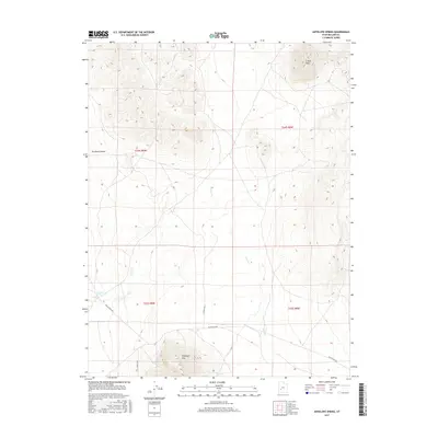
2017 Map of Antelope Spring
USGS Topo · Published 2017About this map
Antelope Spring and Cove Spring serve as critical watering points in this arid reach of Millard County. Situated at the western margin of the Escalante Desert, the landscape is defined by the sharp rise of Antelope Mtn in the south and the high point of S Twin Peak in the north. The drainage of Cove Cr carves a path through the basin, while a grid of section lines and rudimentary roads, including Black Rock Rd, provides the only infrastructure across these high-desert townships. The map reflects a classic Great Basin environment where human activity is dictated by the proximity to reliable water sources and the natural corridors between volcanic peaks and desert floor.
Find a feature on this map
13 named features on this map. Tap any name to fly to it.
Don’t see what you’re looking for? This feature index may not catch every label — zoom into the map to look around manually.
Map Details
Editions of this 2017 Antelope Spring Map
This is the sole edition of this map. No revisions or reprints were ever made.
Other maps of this area

1885 · Beaver
USGS Topo · 1:250,000

1953 · Richfield
USGS Topo · 1:250,000

1958 · Richfield
USGS Topo · 1:250,000

1962 · Tabernacle Hill
USGS Topo · 1:62,500

1962 · Cove Fort
USGS Topo · 1:62,500

1973 · Cruz
USGS Topo · 1:24,000

1973 · Pinnacle Pass
USGS Topo · 1:24,000

1973 · Antelope Spring
USGS Topo · 1:24,000

1973 · Black Rock
USGS Topo · 1:24,000

1973 · Read
USGS Topo · 1:24,000