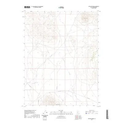
2023 Map of Antelope Spring
USGS Topo · Published 2023About this map
Antelope Spring and Cove Spring serve as critical water points in this arid stretch of Millard County, defining the local geography west of the towering Twin Peaks. The landscape is dominated by high-relief volcanic and tectonic features, from the singular prominence of South Twin Peak in the northeast to the northern reaches of the Mineral Mountains and Antelope Mtn at the southern margin. Human movement through this terrain is primarily marked by long-distance routes like Black Rock Rd and several north-south desert roads including S 18400 West Rd. The drainage of Cove Creek snakes across the central basin, illustrating the complex hydrography that sustains the desert environment between these significant mountain ranges.
Find a feature on this map
10 named features on this map. Tap any name to fly to it.
Don’t see what you’re looking for? This feature index may not catch every label — zoom into the map to look around manually.
Map Details
Editions of this 2023 Antelope Spring Map
This is the sole edition of this map. No revisions or reprints were ever made.
Other maps of this area

1885 · Beaver
USGS Topo · 1:250,000

1953 · Richfield
USGS Topo · 1:250,000

1958 · Richfield
USGS Topo · 1:250,000

1962 · Tabernacle Hill
USGS Topo · 1:62,500

1962 · Cove Fort
USGS Topo · 1:62,500

1973 · Cruz
USGS Topo · 1:24,000

1973 · Pinnacle Pass
USGS Topo · 1:24,000

1973 · Antelope Spring
USGS Topo · 1:24,000

1973 · Black Rock
USGS Topo · 1:24,000

1973 · Read
USGS Topo · 1:24,000