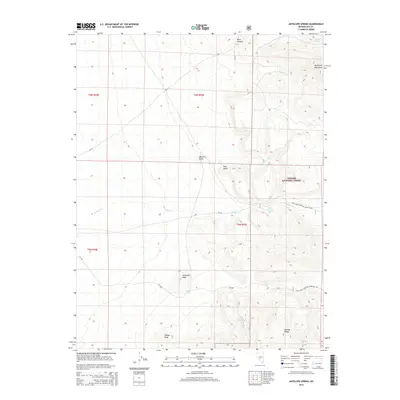
2014 Map of Antelope Spring
USGS Topo · Published 2014About this map
Antelope Spring and its surrounding high-desert terrain define this section of the Monitor Range in Central Nevada. The landscape is marked by isolated water sources vital to the region's history, including Nickel Spring, Willow Spring, and the curiously named Wood Chopper Spring. To the east, the McKinney Mountains rise against the horizon, while prominent landmarks like Mexican Butte, Pink Butte, and Antelope Peak provide navigational anchors in an area defined by significant elevation changes. This territory, largely part of the Toiyabe National Forest, is accessed via a network of forest roads such as Natl Forest Develop Road 235 Rd, tracing a path through the drainages of Willow Cr and the heights of Kinney Peak.
Find a feature on this map
22 named features on this map. Tap any name to fly to it.
Don’t see what you’re looking for? This feature index may not catch every label — zoom into the map to look around manually.
Map Details
Editions of this 2014 Antelope Spring Map
This is the sole edition of this map. No revisions or reprints were ever made.
Other maps of this area

1907 · Tonopah
USGS Topo · 1:250,000

1908 · Tonopah
USGS Topo · 1:250,000

1956 · Tonopah
USGS Topo · 1:250,000

1959 · Tonopah
USGS Topo · 1:250,000

1961 · Tonopah
USGS Topo · 1:62,500

1962 · Tonopah
USGS Topo · 1:250,000

1963 · Baxter Spring
USGS Topo · 1:62,500

1971 · Antelope Spring
USGS Topo · 1:24,000

1971 · Saulsbury Basin
USGS Topo · 1:24,000
1971 · Big Ten Peak West
USGS Topo · 1:24,000