
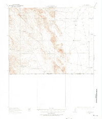
1917 Map of Antelope Wells
USGS Topo · Published 1970About this map
Scattered ranching outposts and vital water sources define this remote border landscape in New Mexico as it was surveyed just before the end of the First World War. The terrain is dominated by the San Luis Mountains and the Whitewater Mts, where survival depended on a network of family-run operations such as Culberson's Ranch, W T Sims Ranch, and W E Bass Ranch. The presence of High Lonesome Wells and Antelope Wells highlights the critical importance of groundwater in this arid environment along the United States Mexico boundary. This 1917 survey captures a rugged frontier economy where Packers Trail and Nations Tanks served as essential infrastructure for movement and livestock, long before modern development altered the southwestern landscape.
Find a feature on this map
32 named features on this map. Tap any name to fly to it.
Don’t see what you’re looking for? This feature index may not catch every label — zoom into the map to look around manually.
Map Details
Editions of this 1917 Antelope Wells Map
2 editions found
Other maps of this area

1918 · Big Hatchet Peak
USGS Topo · 1:62,500

1918 · Dog Mountains
USGS Topo · 1:62,500

1918 · Walnut Wells
USGS Topo · 1:62,500

1918 · Cienega Springs
USGS Topo · 1:62,500

1918 · Animas Peak
USGS Topo · 1:62,500

1919 · Antelope Wells
USGS Topo · 1:62,500

1920 · Animas Peak
USGS Topo · 1:62,500

1923 · Walnut Wells
USGS Topo · 1:62,500

1955 · Douglas
USGS Topo · 1:250,000

1959 · Douglas
USGS Topo · 1:250,000