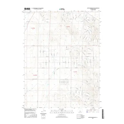
2016 Map of Antero Reservoir NE
USGS Topo · Published 2016About this map
Oye Reservoir sits near the heart of this Park County landscape, which by 2016 had become a complex grid of residential planning and rugged natural water sources. The terrain is defined by the drainage of Agate Cr and the presence of Antelope Spring, providing a contrast to the dense network of named roads and trails. This area shows a distinctive pattern of high-altitude development, with hundreds of street names reflecting indigenous influences and early western exploration. The grid is anchored by thoroughfares like Co Rd 53 and Co Rd 80, which connect various townships across the high mountain basin. The naming conventions used for the local roads, such as Hohokan Trl, Vitorio Trl, and Sinaqua Rd, suggest a modern era of subdivision and rural residential expansion into the Colorado wilderness.
Find a feature on this map
140 named features on this map. Tap any name to fly to it.
Don’t see what you’re looking for? This feature index may not catch every label — zoom into the map to look around manually.
Map Details
Editions of this 2016 Antero Reservoir NE Map
This is the sole edition of this map. No revisions or reprints were ever made.
Other maps of this area

1953 · Denver
USGS Topo · 1:250,000

1954 · Pueblo
USGS Topo · 1:250,000

1956 · Sulphur Mountain
USGS Topo · 1:24,000

1956 · Garo
USGS Topo · 1:24,000

1956 · Antero Reservoir
USGS Topo · 1:24,000

1956 · Antero Reservoir NE
USGS Topo · 1:24,000

1956 · Hartsel
USGS Topo · 1:24,000

1956 · Guffey NW
USGS Topo · 1:24,000

1957 · Denver
USGS Topo · 1:250,000

1957 · Pueblo
USGS Topo · 1:250,000