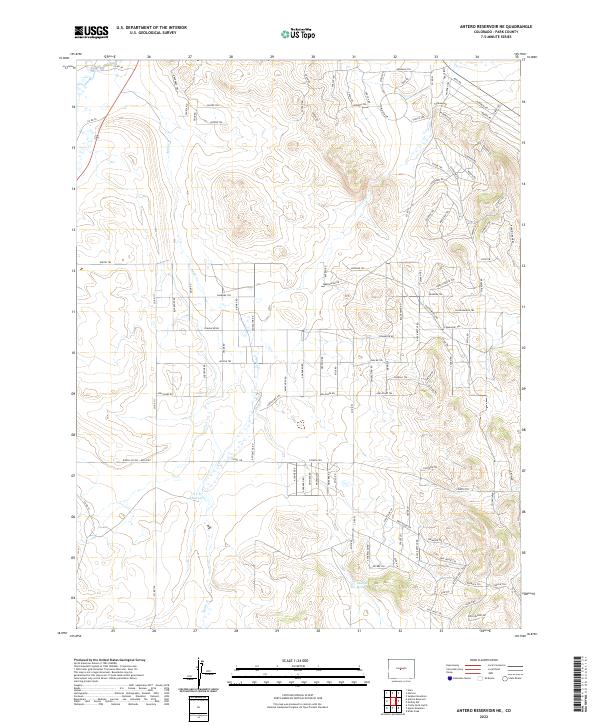
2022 Map of Antero Reservoir NE
USGS Topo · Published 2022About this map
Agate Cr threads through this high-altitude landscape in Park County, defining a drainage pattern that supports isolated water sources like Antelope Spring. The terrain is marked by a complex network of roads and trails bearing indigenous-inspired names, such as Arikara Trl, Santee Trl, and Nana Rd, reflecting modern land subdivision and naming conventions in this part of Colorado.
Find a feature on this map
105 named features on this map. Tap any name to fly to it.
Don’t see what you’re looking for? This feature index may not catch every label — zoom into the map to look around manually.
Map Details
Editions of this 2022 Antero Reservoir NE Map
This is the sole edition of this map. No revisions or reprints were ever made.
Other maps of this area

1953 · Denver
USGS Topo · 1:250,000

1954 · Pueblo
USGS Topo · 1:250,000

1956 · Sulphur Mountain
USGS Topo · 1:24,000

1956 · Garo
USGS Topo · 1:24,000

1956 · Antero Reservoir
USGS Topo · 1:24,000

1956 · Antero Reservoir NE
USGS Topo · 1:24,000

1956 · Hartsel
USGS Topo · 1:24,000

1956 · Guffey NW
USGS Topo · 1:24,000

1957 · Denver
USGS Topo · 1:250,000

1957 · Pueblo
USGS Topo · 1:250,000