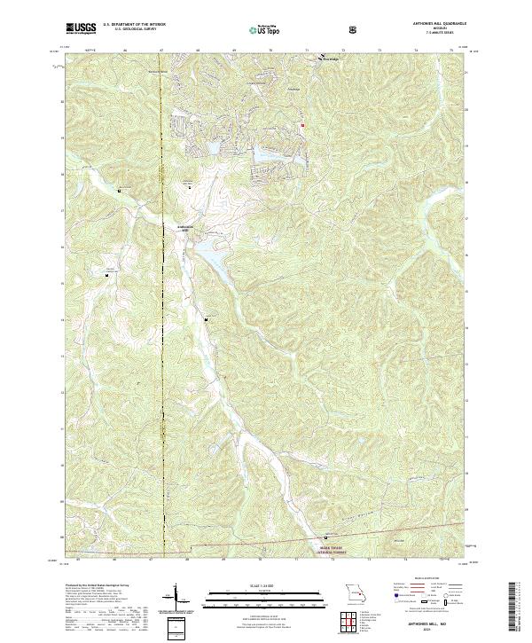
2021 Map of Anthonies Mill
USGS Topo · Published 2021About this map
Anthonies Mill serves as the focal point of this rural Missouri landscape on the border of Crawford and Washington Counties. The area is defined by a dense network of family-owned historical sites and watercourses, including the Anthonies Mill Cem, Swan Cem, and Harmon Family Cem. The terrain is characterized by winding creek valleys such as Ashley Branch and Brazil Cr, which carve through the ridges of the Mark Twain National Forest. The presence of numerous small cemeteries suggests a deep-rooted genealogical history within these hollows.
Find a feature on this map
73 named features on this map. Tap any name to fly to it.
Don’t see what you’re looking for? This feature index may not catch every label — zoom into the map to look around manually.
Map Details
Editions of this 2021 Anthonies Mill Map
This is the sole edition of this map. No revisions or reprints were ever made.
Other maps of this area

1901 · De Soto
USGS Topo · 1:125,000

1903 · Sullivan
USGS Topo · 1:125,000

1906 · Potosi
USGS Topo · 1:62,500

1934 · Meramec State Park
USGS Topo · 1:24,000

1937 · Meramec State Park
USGS Topo · 1:24,000

1943 · Berryman
USGS Topo · 1:62,500

1945 · Berryman
USGS Topo · 1:62,500

1946 · Richwoods
USGS Topo · 1:62,500

1947 · Sullivan
USGS Topo · 1:62,500

1948 · Richwoods
USGS Topo · 1:62,500