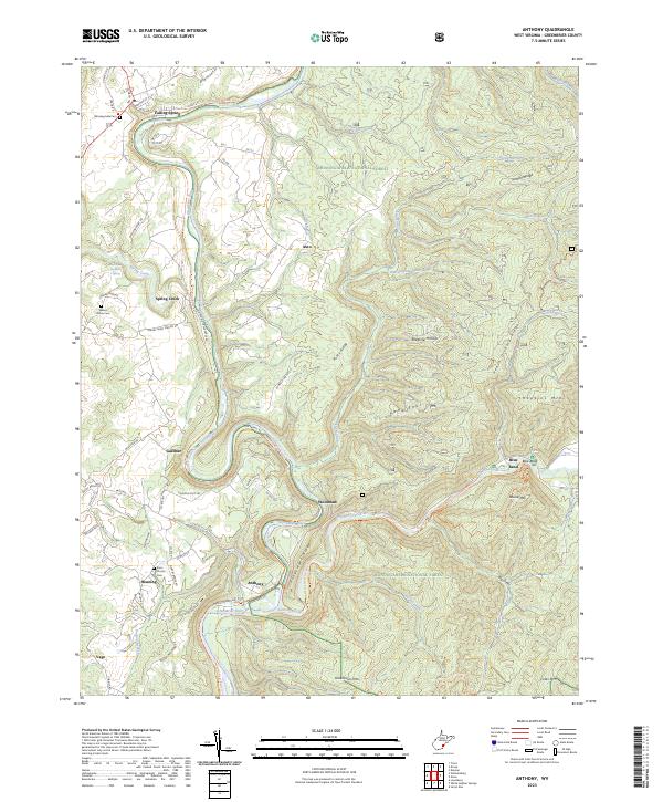
2023 Map of Anthony
USGS Topo · Published 2023About this map
The Greenbrier River carves a winding path through the heart of this landscape, its banks followed by the Greenbrier River Rail-Trl, which preserves a former railroad corridor through the Appalachian highlands. Small communities and rural settlements like Anthony, Spring Creek, and Falling Spring are situated along the river and its tributaries, while the eastern portion of the sheet is dominated by the protected acreage of the Monongahela National Forest. Within these woodlands, the Big Draft Wilderness protects a roadless area of high ridges, including Greenbrier Mtn. Local history is preserved at the Walnut Grove Cem and Enon Church, while recreational sites like Blue Bend and the Anthony Creek Trail # 618 Trl highlight the area's modern transition from an industrial river valley to a center for conservation and backcountry exploration.
Find a feature on this map
72 named features on this map. Tap any name to fly to it.
Don’t see what you’re looking for? This feature index may not catch every label — zoom into the map to look around manually.
Map Details
Editions of this 2023 Anthony Map
This is the sole edition of this map. No revisions or reprints were ever made.
Other maps of this area

1887 · Lewisburg
USGS Topo · 1:125,000

1891 · Lewisburg
USGS Topo · 1:125,000

1891 · Huntersville
USGS Topo · 1:125,000

1894 · Huntersville
USGS Topo · 1:125,000

1921 · Callaghan
USGS Topo · 1:48,000

1921 · White Sulphur Springs
USGS Topo · 1:48,000

1923 · Lobelia
USGS Topo · 1:48,000

1923 · White Sulphur Springs
USGS Topo · 1:62,500

1923 · Marlinton
USGS Topo · 1:48,000

1923 · Callaghan
USGS Topo · 1:62,500