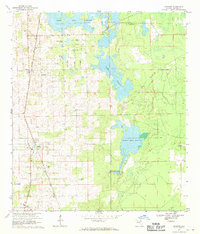
1967 Map of Anthony
USGS Topo · Published 1970About this map
Anthony and Sparr anchor this central Florida landscape, positioned along the north-south corridor of the Seaboard Coast Line railroad. The terrain is characterized by a complex of karst features and seasonal wetlands, most notably the expansive Black Sink Prairie and Goose Prairie. These prairies, alongside Indian Lake Prairie and Indian Lake, reflect the typical hydrological patterns of Marion County's limestone geology.
Find a feature on this map
31 named features on this map. Tap any name to fly to it.
Don’t see what you’re looking for? This feature index may not catch every label — zoom into the map to look around manually.
Map Details
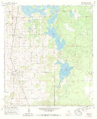
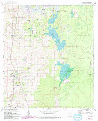
Editions of this 1967 Anthony Map
3 editions found
Other maps of this area

1893 · Citra
USGS Topo · 1:62,500

1895 · Citra
USGS Topo · 1:62,500

1895 · Ocala
USGS Topo · 1:62,500

1954 · Gainesville
USGS Topo · 1:250,000

1954 · Daytona Beach
USGS Topo · 1:250,000

1958 · Daytona Beach
USGS Topo · 1:250,000

1958 · Gainesville
USGS Topo · 1:250,000

1959 · Gainesville
USGS Topo · 1:250,000

1964 · Daytona Beach
USGS Topo · 1:250,000
1967 · Citra
USGS Topo · 1:24,000