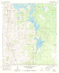
1967 Map of Anthony
USGS Topo · Published 1989About this map
The Seaboard Coast Line railroad dictates the settlement pattern of this Marion County landscape, connecting the agricultural communities of Sparr and Anthony. These small centers are defined by their local institutions, including St Josephs Ch and New Hope Ch, alongside family-named landmarks like Dupree Cem. The topography is a mix of sinkhole lakes and expansive seasonal wetlands typical of north-central Florida, notably the large Black Sink Prairie and Gooski Prairie. To the west, development patterns take on a more suburban character with a cluster of distinctively named streets such as Moonglow St and Avacado St near Meadowbrook Lake. Further east, the terrain transitions into more sparsely populated areas near Burbank and the Indian Lake Prairie, where only a Jeep Trail penetrates the low-lying basin.
Find a feature on this map
31 named features on this map. Tap any name to fly to it.
Don’t see what you’re looking for? This feature index may not catch every label — zoom into the map to look around manually.
Map Details
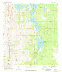
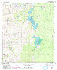
Editions of this 1967 Anthony Map
3 editions found
Other maps of this area

1893 · Citra
USGS Topo · 1:62,500

1895 · Citra
USGS Topo · 1:62,500

1895 · Ocala
USGS Topo · 1:62,500

1954 · Gainesville
USGS Topo · 1:250,000

1954 · Daytona Beach
USGS Topo · 1:250,000

1958 · Daytona Beach
USGS Topo · 1:250,000

1958 · Gainesville
USGS Topo · 1:250,000

1959 · Gainesville
USGS Topo · 1:250,000

1964 · Daytona Beach
USGS Topo · 1:250,000
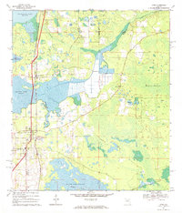
1967 · Citra
USGS Topo · 1:24,000