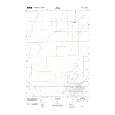
2010 Map of Antigo
USGS Topo · Published 2010About this map
The city of Antigo serves as the focal point of this northern Wisconsin landscape, where the confluence of several waterways defines the local geography. The Eau Claire River and its various tributaries, including the West Branch Eau Claire River, East Branch Eau Claire River, and Oldens Creek, weave through a grid of rural roads and agricultural plots. Significant civic and community landmarks are concentrated in the southern portion of the quadrangle, including the Antigo Post Office and Antigo Lake, which is managed by the Faust Dam 1883c259.
Find a feature on this map
15 named features on this map. Tap any name to fly to it.
Don’t see what you’re looking for? This feature index may not catch every label — zoom into the map to look around manually.
Map Details
Editions of this 2010 Antigo Map
This is the sole edition of this map. No revisions or reprints were ever made.
Other maps of this area

1899 · Wausau
USGS Topo · 1:125,000

1902 · Wausau
USGS Topo · 1:125,000

1940 · Parrish
USGS Topo · 1:48,000

1942 · Elcho
USGS Topo · 1:48,000

1950 · Elcho
USGS Topo · 1:48,000

1950 · Parrish
USGS Topo · 1:48,000

1951 · Doering
USGS Topo · 1:48,000

1952 · Parrish
USGS Topo · 1:48,000

1952 · Antigo
USGS Topo · 1:48,000

1954 · Iron Mountain
USGS Topo · 1:250,000