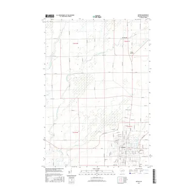
2015 Map of Antigo
USGS Topo · Published 2015About this map
The city of Antigo serves as the focal point of this northern Wisconsin landscape, where the confluence of the Eau Claire River and its tributaries shapes the local geography. To the north, the smaller settlements of Deerbrook and Neva Corners mark the transition into a more rural, agricultural grid defined by the Public Land Survey System. The area is notable for its concentration of historic burial grounds, including the Bohemian Cem, Queen of Peace Cem, Antigo Cem, and Elmwood Cem, which provide significant data points for genealogical research. Water features are prominent throughout the quadrangle, with Antigo Lake and Kellogg Pond situated within the city limits, while the East Branch Eau Claire River and West Branch Eau Claire River wind through the western and central reaches. The map details an extensive road network, from major arteries like Co Hwy E and Co Hwy I to residential streets such as Amron Ave and W Center St.
Find a feature on this map
100 named features on this map. Tap any name to fly to it.
Don’t see what you’re looking for? This feature index may not catch every label — zoom into the map to look around manually.
Map Details
Editions of this 2015 Antigo Map
This is the sole edition of this map. No revisions or reprints were ever made.
Other maps of this area

1899 · Wausau
USGS Topo · 1:125,000

1902 · Wausau
USGS Topo · 1:125,000

1940 · Parrish
USGS Topo · 1:48,000

1942 · Elcho
USGS Topo · 1:48,000

1950 · Elcho
USGS Topo · 1:48,000

1950 · Parrish
USGS Topo · 1:48,000

1951 · Doering
USGS Topo · 1:48,000

1952 · Parrish
USGS Topo · 1:48,000

1952 · Antigo
USGS Topo · 1:48,000

1954 · Iron Mountain
USGS Topo · 1:250,000