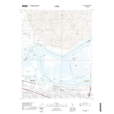
2018 Map of Antioch North
USGS Topo · Published 2018About this map
The confluence of the Sacramento River and San Joaquin River dominates this landscape, where the waters of the Central Valley meet at the head of Suisun Bay. The terrain transitions from the elevated Montezuma Hills in the north down to a complex network of islands and sloughs, including Sherman Island and Browns Island. This maritime environment is heavily shaped by modern navigation, featuring the Sacramento River Deep Water Ship Channel and the Stockton Deep Water Channel, which facilitate industrial access to the interior.
Find a feature on this map
117 named features on this map. Tap any name to fly to it.
Don’t see what you’re looking for? This feature index may not catch every label — zoom into the map to look around manually.
Map Details
Editions of this 2018 Antioch North Map
This is the sole edition of this map. No revisions or reprints were ever made.
Other maps of this area

1896 · Mt. Diablo
USGS Topo · 1:62,500

1898 · Mt. Diablo
USGS Topo · 1:62,500

1907 · Antioch
USGS Topo · 1:62,500

1908 · Antioch
USGS Topo · 1:62,500

1910 · Rio Vista
USGS Topo · 1:31,680

1910 · Jersey
USGS Topo · 1:31,680

1914 · Brentwood
USGS Topo · 1:31,680

1916 · Lone Tree Valley
USGS Topo · 1:31,680

1916 · Byron
USGS Topo · 1:62,500

1918 · Honker Bay
USGS Topo · 1:31,680