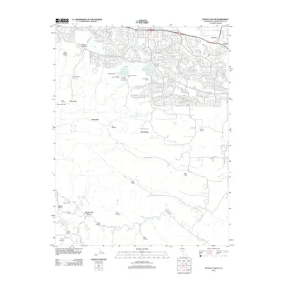
2012 Map of Antioch South
USGS Topo · Published 2012About this map
Coal Mine Tunnels and the Rose Hill Cem anchor the western portion of this landscape, marking the historic mining activity that once defined the foothills. While the northern edge shows the modern expansion of residential streets like Buchanan Rd and James Donlon Blvd, the southern reaches remain dominated by canyons and valleys including Deer Valley, Horse Valley, and Dark Canyon. The Contra Costa Canal winds through the northern hills, a critical piece of water infrastructure that supports both the residential developments and the Antioch Municipal Reservoir. To the south, the terrain becomes more isolated, characterized by large land tracts such as the Contra Costa County Jail Farm and the Morgan Territory School, while named sites like Marsh Creek Springs and Sunshine Camp indicate a history of rural gathering places along the creek beds.
Find a feature on this map
61 named features on this map. Tap any name to fly to it.
Don’t see what you’re looking for? This feature index may not catch every label — zoom into the map to look around manually.
Map Details
Editions of this 2012 Antioch South Map
This is the sole edition of this map. No revisions or reprints were ever made.
Other maps of this area

1896 · Mt. Diablo
USGS Topo · 1:62,500

1898 · Mt. Diablo
USGS Topo · 1:62,500

1907 · Antioch
USGS Topo · 1:62,500

1908 · Antioch
USGS Topo · 1:62,500

1910 · Jersey
USGS Topo · 1:31,680

1911 · Byron Hot Springs
USGS Topo · 1:31,680

1914 · Brentwood
USGS Topo · 1:31,680

1916 · Lone Tree Valley
USGS Topo · 1:31,680

1916 · Byron Hot Springs
USGS Topo · 1:31,680

1916 · Byron
USGS Topo · 1:62,500