
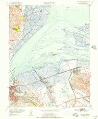
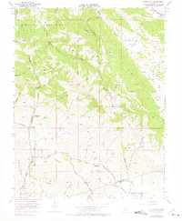
2023 Map of Antioch South
USGS Topo · Published 2023About this map
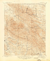
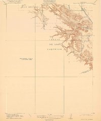
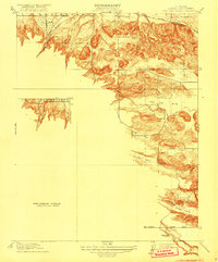
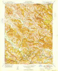
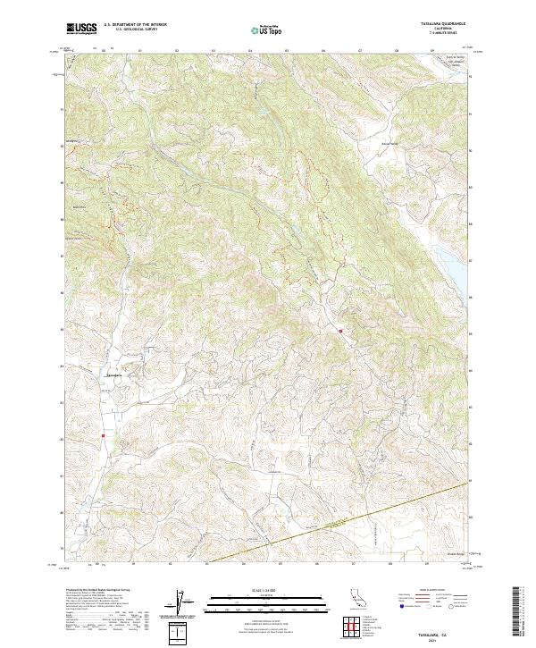
The Black Hills and the northern slopes of the Diablo Range define the rugged southern landscape of this 2023 survey. Critical water infrastructure serves the modern Contra Costa region, including the Mokelumne Aqueduct, the Contra Costa Canal, and the Contra Loma Reservoir. Historical traces of the area's mining and ranching heritage remain visible in the placement of Rose Hill Cem and the naming of Empire Mine Rd, alongside former settlement sites like Somersville, Stewartville, and West Hartley. The map captures the meeting point of the San Joaquin Valley and Sacramento Valley in the north, where residential growth from Antioch, Pittsburg, and Brentwood pushes toward the dramatic elevation changes of the Deer Valley and Lone Tree Valley. Local landmarks such as Marsh Creek Springs and several canyons, including Oil Canyon and Irish Canyon, illustrate the complex drainage patterns feeding into Marsh Creek.
Find a feature on this map
58 named features on this map. Tap any name to fly to it.
Don’t see what you’re looking for? This feature index may not catch every label — zoom into the map to look around manually.
Map Details
Editions of this 2023 Antioch South Map
This is the sole edition of this map. No revisions or reprints were ever made.
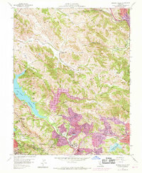
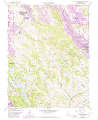
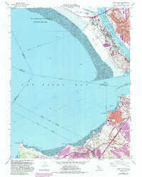
Historical Maps of Newlove Through Time
36 maps found

1896 Mt. Diablo
Contra Costa County, CA
1898 Mt. Diablo
Contra Costa County, CA

1911 Byron Hot Springs
Contra Costa County, CA

1913 Woodward Island
Contra Costa County, CA
1916 Byron Hot Springs
Contra Costa County, CA
1916 Lone Tree Valley
Contra Costa County, CA

1943 Mt. Diablo
Contra Costa County, CA

1947 Briones Valley
Contra Costa County, CA

1947 Las Trampas Ridge
Contra Costa County, CA
1949 Briones Valley
Contra Costa County, CA

1949 Las Trampas Ridge
Contra Costa County, CA

1949 Mare Island
Contra Costa County, CA

1951 Mare Island
Contra Costa County, CA
1951 Port Chicago
Contra Costa County, CA
1952 Woodward Island
Contra Costa County, CA
1953 Antioch South
Contra Costa County, CA
1953 Byron Hot Springs
Contra Costa County, CA
1953 Tassajara
Contra Costa County, CA
1959 Briones Valley
Contra Costa County, CA
1959 Las Trampas Ridge
Contra Costa County, CA
1959 Mare Island
Contra Costa County, CA
1968 Port Chicago
Contra Costa County, CA

1978 Woodward Island
Contra Costa County, CA

1991 Tassajara
Contra Costa County, CA

1993 Briones Valley
Contra Costa County, CA

1993 Las Trampas Ridge
Contra Costa County, CA

1995 Briones Valley
Contra Costa County, CA

1995 Las Trampas Ridge
Contra Costa County, CA

1996 Tassajara
Contra Costa County, CA
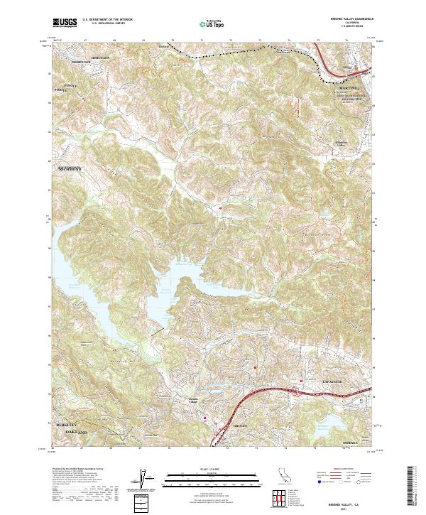
2021 Briones Valley
Contra Costa County, CA
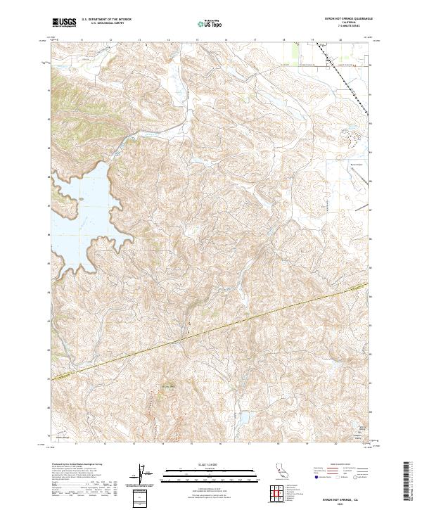
2021 Byron Hot Springs
Contra Costa County, CA
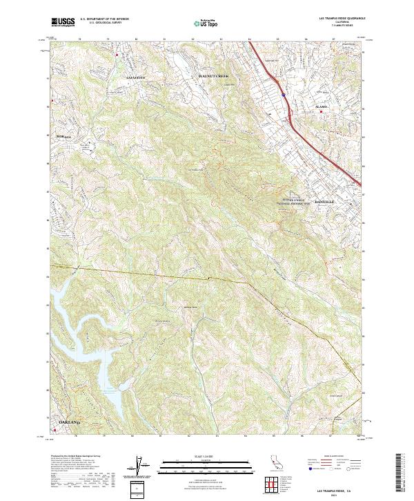
2021 Las Trampas Ridge
Contra Costa County, CA

2021 Mare Island
Contra Costa County, CA
2021 Tassajara
Contra Costa County, CA

2021 Woodward Island
Contra Costa County, CA
2023 Antioch South
Contra Costa County, CA