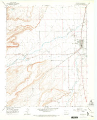
1967 Map of Antonito
USGS Topo · Published 1971About this map
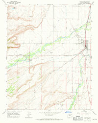
Antonito serves as a vital rail and irrigation hub in the southern San Luis Valley during the late 1960s, defined by the confluence of the Conejos River and the Rio San Antonio. The landscape is a network of hand-carved waterways including the Mogote Ditch, Romero Ditch, and Guadalupe Ditch, which support several small Hispanic settlements like Guadalupe, Conejos, and Las Mesitas. The mapping reveals a distinct transportation economy, showing the Denver and Rio Grande Western tracks alongside the San Antonio Branch Narrow Gage Railroad. Genealogists will find significant value in the distribution of community-specific burial grounds, such as the Warshaver Cem, Antonito Cem, and Ortiz Cem, which reflect the family-centric settlement patterns of the high-altitude plains and the Cañon Antonito.
Find a feature on this map
40 named features on this map. Tap any name to fly to it.
Don’t see what you’re looking for? This feature index may not catch every label — zoom into the map to look around manually.
Map Details
Editions of this 1967 Antonito Map
2 editions found
Other maps of this area

1918 · Tusas
USGS Topo · 1:125,000

1922 · Conejos
USGS Topo · 1:125,000

1945 · Durango
USGS Topo · 1:250,000

1953 · Durango
USGS Topo · 1:250,000

1954 · Durango
USGS Topo · 1:250,000

1954 · Raton
USGS Topo · 1:250,000

1954 · Trinidad
USGS Topo · 1:250,000

1954 · Aztec
USGS Topo · 1:250,000

1955 · Trinidad
USGS Topo · 1:250,000

1958 · Raton
USGS Topo · 1:250,000