Loading...
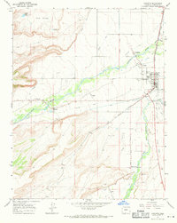
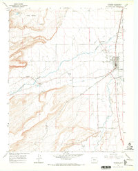
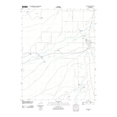
Loading map...1967 Map of Antonito
USGS Topo · Published 1971About this map
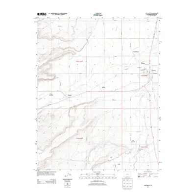
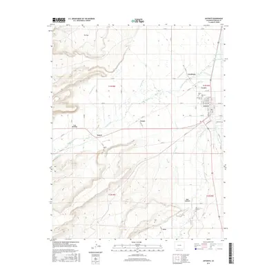
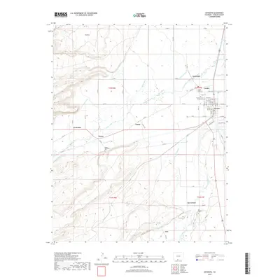
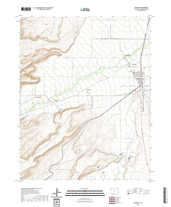
The Conejos River and Rio San Antonio valley systems define this landscape, where early Hispanic settlements and an intricate irrigation network of ditches like the Mogote Ditch and Antonito Ditch supported high-altitude agriculture in the late 1960s. The town of Antonito serves as a central hub, notably where the Denver and Rio Grande Western rail line and a Narrow Gage Railroad on same roadbed converge.
Find a feature on this map
44 named features on this map. Tap any name to fly to it.
Don’t see what you’re looking for? This feature index may not catch every label — zoom into the map to look around manually.
Map Details
Date Portrayed1967
Date Published1971
PublisherU.S. Geological Survey
Map TypeTopographic
Scale1:24,000
Physical Dimensions21.3 x 26.7 inches
Editions of this 1967 Antonito Map
2 editions found
Historical Maps of Antonito Through Time
7 maps found
Featured Locations
Source Details
SourceU.S. Geological Survey
CopyrightPublic Domain