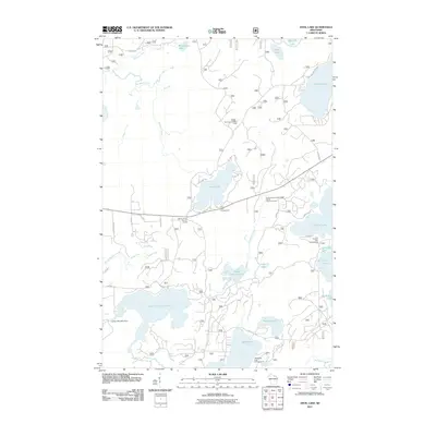
2011 Map of Anvil Lake
USGS Topo · Published 2011About this map
Anvil Lake sits at the heart of this northern lake-land landscape, surrounded by a complex network of glacial water bodies and recreational grounds. The geography is marked by the Eastern Continental Divide Point of Interest, a significant hydrological marker that dictates the drainage patterns for the region's numerous basins, including Franklin Lake and Sevenmile Lake. This area is characterized by its seasonal use and outdoor heritage, evident in the distributed sites like Anvil Lake Campground and Franklin Lake Campground.
Find a feature on this map
95 named features on this map. Tap any name to fly to it.
Don’t see what you’re looking for? This feature index may not catch every label — zoom into the map to look around manually.
Map Details
Editions of this 2011 Anvil Lake Map
This is the sole edition of this map. No revisions or reprints were ever made.
Other maps of this area

1928 · Three Lakes
USGS Topo · 1:48,000

1938 · Phelps
USGS Topo · 1:48,000

1938 · Alvin
USGS Topo · 1:48,000

1938 · Three Lakes
USGS Topo · 1:48,000

1945 · Three Lakes
USGS Topo · 1:48,000

1946 · Alvin
USGS Topo · 1:48,000

1950 · Phelps
USGS Topo · 1:48,000

1954 · Iron Mountain
USGS Topo · 1:250,000

1956 · Beechwood
USGS Topo · 1:62,500

1956 · Phelps
USGS Topo · 1:62,500