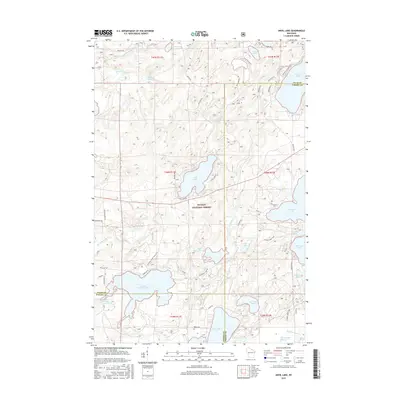
2015 Map of Anvil Lake
USGS Topo · Published 2015About this map
Nicolet National Forest encompasses this glacial landscape in the mid-2010s, where the headwaters and drainage basins of the Deerskin River and Ninemile Cr create a complex network of wetlands and deep-water lakes. This territory is defined by its recreation-oriented landscape, featuring an intricate system of forest routes like Military Rd and specialized paths such as the Hidden Lakes Trail. The map documents the northern lake country of Vilas County and Oneida County, centered on the large basin of Anvil Lake.
Find a feature on this map
57 named features on this map. Tap any name to fly to it.
Don’t see what you’re looking for? This feature index may not catch every label — zoom into the map to look around manually.
Map Details
Editions of this 2015 Anvil Lake Map
This is the sole edition of this map. No revisions or reprints were ever made.
Other maps of this area

1928 · Three Lakes
USGS Topo · 1:48,000

1938 · Phelps
USGS Topo · 1:48,000

1938 · Alvin
USGS Topo · 1:48,000

1938 · Three Lakes
USGS Topo · 1:48,000

1945 · Three Lakes
USGS Topo · 1:48,000

1946 · Alvin
USGS Topo · 1:48,000

1950 · Phelps
USGS Topo · 1:48,000

1954 · Iron Mountain
USGS Topo · 1:250,000

1956 · Beechwood
USGS Topo · 1:62,500

1956 · Phelps
USGS Topo · 1:62,500