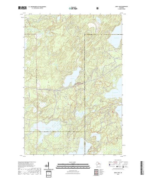
2022 Map of Anvil Lake
USGS Topo · Published 2022About this map
Nicolet National Forest dominates this northern Wisconsin landscape, characterized by a dense concentration of glacial lakes and an extensive network of recreational and historical trails. The map reveals the intricate water system of the Deerskin River and the interconnected Lower Ninemile Lake and Upper Ninemile Lake, alongside prominent bodies like Anvil Lake and Franklin Lake. This region at the junction of Vilas and Forest Counties is defined by its transition from high-density timber to protected wilderness areas.
Find a feature on this map
60 named features on this map. Tap any name to fly to it.
Don’t see what you’re looking for? This feature index may not catch every label — zoom into the map to look around manually.
Map Details
Editions of this 2022 Anvil Lake Map
This is the sole edition of this map. No revisions or reprints were ever made.
Other maps of this area

1928 · Three Lakes
USGS Topo · 1:48,000

1938 · Phelps
USGS Topo · 1:48,000

1938 · Alvin
USGS Topo · 1:48,000

1938 · Three Lakes
USGS Topo · 1:48,000

1945 · Three Lakes
USGS Topo · 1:48,000

1946 · Alvin
USGS Topo · 1:48,000

1950 · Phelps
USGS Topo · 1:48,000

1954 · Iron Mountain
USGS Topo · 1:250,000

1956 · Beechwood
USGS Topo · 1:62,500

1956 · Phelps
USGS Topo · 1:62,500